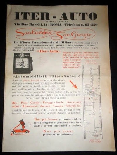
An article on GIS Lounge shows that people developed personal navigation devices way before GPS was possible. For example, the Italian Iter-Auto, the first in-vehicle personal navigation device, featured a scrolling map hooked up to a speedometer so that the location of the motorist on the map was more or less accurate to their actual location.
You can check out the full article at GIS Lounge.
Tags: GIS Lounge


This is awesome. Would like to see more from TF and SSD on GIS topics.